 |
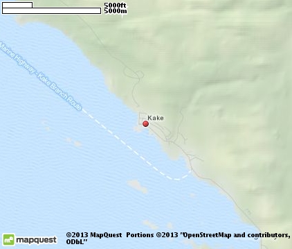
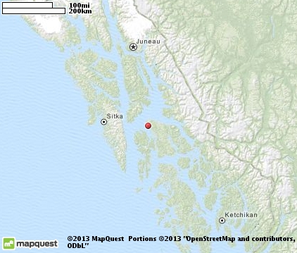
Kake
is a village located in the southeast panhandle region of Alaska, on the northwest coast of Kupreanof Island. The population is approximately 700 residents. The name of the town, which is pronounced "cake" comes from the Tlingit tribe, and it's been the traditional home of the tribe for centuries. The village incorporated as a city in 1952. Things to see in Kake include a 132-foot totem pole, which sits on a bluff overlooking the town. It's the worlds largest totem pole and was commissioned by the village of Kake and carved by Chilkats in 1967 for Alaskas centennial celebration. Other attractions include the Big John Bay Trail, Goose Lake Trail, Cathedral Falls Trail, Hamilton Creek and Portage Bay Seatrails. Recreational activities include biking, hiking, fishing and wildlife viewing. One of the largest congregations of Humpback Whales can be viewed offshore from Kake May through October, and bears can often be seen from the Silver Spike Road Bridge and at the Hatchery on Bear Crossing Road Access. You may also want to drive the old logging roads in the area to see the old growth trees, including one that is 16 diameter and 254 tall. Special events in the village include Kake Day, Kakes Dog Salmon Festival in late July and Challenge of the Chums (Tlingit canoe race).

|
Kake Vacation Rentals
|

|
|
|
|
|
Kake Hotels and Resorts
|
|
|
| | | Hotels & Motels |
| Keex' Kwaan Lodge | 538 Keku Rd | Kake, AK | | (907) 785-3434 | | Waterfront Lodge Inn | Silverspike Rd | Kake, AK | | (907) 785-3472 |

|
Kake Weather & Climate
|

|
|
|
Southeastern Alaska, in the Panhandle Region, the climate is classified as humid continental, although it borders on being a subarctic climate. The moderating influence comes from the proximity to the Pacific Ocean. Winters are long and moist - cold, but not frigid. January highs are frequently above freezing. Spring, summer and autumn are cool to mild. Snowfall averages 84 inches and occurs mainly from November through March. Yearly rainfall varies, depending on location, but averages between 55 to 90 inches. Spring is the driest season and September and October are the wettest months. Some have described this region as "a cooler version of Seattle."
|
| Month |
High Temp |
Low Temp |
Rainfall |
Ocean Temp |
| January |
34°F |
23°F |
10.64 in. |
- |
| February |
38°F |
26°F |
8.23 in. |
- |
| March |
43°F |
29°F |
8.26 in. |
- |
| April |
50°F |
33°F |
6.90 in. |
- |
| May |
56°F |
39°F |
6.30 in. |
- |
| June |
61°F |
44°F |
4.86 in. |
- |
| July |
63°F |
48°F |
5.22 in. |
- |
| August |
62°F |
47°F |
6.61 in. |
- |
| September |
55°F |
43°F |
11.34 in. |
- |
| October |
47°F |
37°F |
17.56 in. |
- |
| November |
39°F |
30°F |
12.83 in. |
- |
| December |
35°F |
26°F |
11.20 in. |
- |

|
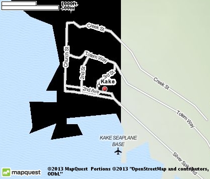
Kake Map & Transportation
|

|
|
 |
|
|
| Click each thumbnail image to enlarge. |
 |
|
 |
 |
The closest airports in the area are the Petersburg James A Johnson airport (PSG) located about 39 miles southeast of Kake in Petersburg, Alaska, the Sitka Rocky Gutierrez airport (SIT) located approximately 53 miles west of Kake in Sitka, Alaska, and finally the Wrangell airport (WRG) located roughly 68 miles southeast of Kake in Wrangell, Alaska.
|

|
Kake Attractions
|

|
|
| | | Ski Areas |
| Eaglecrest | Juneau | AK | 93.3 mi. | |
Notice a problem with the information on this page? Please notify us.
|
Disclaimer: We recommend you conduct your own research regarding all accomodations and attractions found on this website. The distances shown on this website are straight-line distances as the crow flies. The road distance may be considerably longer. You assume all liability for use of any information found on this website. No information is confirmed or warranted in any way. By using our services you agree to the terms and conditions of this disclaimer.
|
| We are the #1 site for your Alaska Vacation presenting Alaska vacation rentals, hotels, weather and map for each city. |
Alaska Vacation .com
©1997-2025 All Rights Reserved.
|
|