 |
Paxson
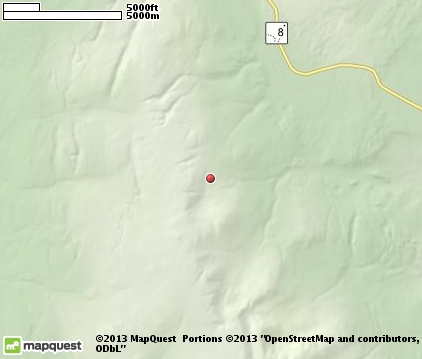
is a tiny community that sits at the junction of the Richardson and Denali Highways in southeast inland Alaska. The village of Paxson lies along Paxson Lake at Mile 185 of the Richardson Highway. The Denali Highway begins at this intersection. As of the 2010 census, the population of Paxson was 40 residents. Most of the residents are employees of the state highway system, and their families. This is quintessential Alaska - wild, rugged, beautiful. The towering Chugach Mountains offer some of the most spectacular scenery in the state. Summit Lake is north of town, and there's also easy access to the Tangle Lakes Recreation Area via the Denali Highway. Things to do include fishing, hiking, canoeing, rafting, birding, caribou hunting, and snowmobiling (snow machining.) The Arctic Man Snowmachine Festival is held in Paxson. There are five lodges with restaurants and bars in the area, including the Paxson Lodge. Also several gift shops, a gas station, grocery store, bunk house and a post office. The Paxson Lodge maintains a 2,800-foot gravel airstrip, and floatplanes can land at Summit Lake.

|
Paxson Vacation Rentals
|

|
|
|
|
|
Paxson Hotels and Resorts
|
|
|

|
Paxson Weather & Climate
|

|
|
|
South-central Alaska has a mild climate, at least by Alaska's standards. Temperatures are moderated by the Gulf of Alaska. Frigid winds are often blocked by the Alaska and Talkeetna Mountains. This region also doesn't get as much rain as other parts of southeastern Alaska, but it receives more snow. Most rain falls in July, August and September, especially along the Gulf coast. Snowfall mostly occurs between December and March with an average of 127 inches. Winter temperature reach lows of 15 degrees F., and the warmest summer temperatures are around 60 degrees F. Summer sunlight in this region lasts 19.5 hours at the June solstice. At the winter solstice, daylight lasts 5.5 hours.
|
| Month |
High Temp |
Low Temp |
Rainfall |
Ocean Temp |
| January |
7°F |
-11°F |
0.94 in. |
- |
| February |
14°F |
-7°F |
0.68 in. |
- |
| March |
24°F |
-1°F |
0.71 in. |
- |
| April |
36°F |
13°F |
0.61 in. |
- |
| May |
50°F |
27°F |
1.10 in. |
- |
| June |
62°F |
37°F |
2.65 in. |
- |
| July |
65°F |
41°F |
3.04 in. |
- |
| August |
60°F |
37°F |
3.20 in. |
- |
| September |
49°F |
30°F |
2.97 in. |
- |
| October |
32°F |
15°F |
2.16 in. |
- |
| November |
15°F |
-1°F |
1.15 in. |
- |
| December |
10°F |
-7°F |
1.24 in. |
- |

|
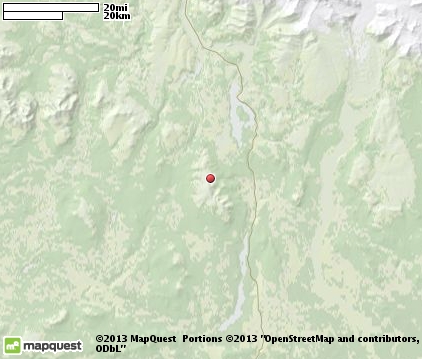
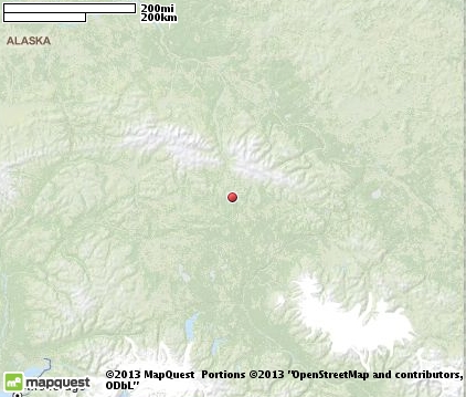
Paxson Map & Transportation
|

|
|
 |
|
|
| Click each thumbnail image to enlarge. |
 |
|
 |
 |
The closest airports in the area are the Gulkana airport (GKN) located about 61 miles south of Paxson in Gulkana, Alaska.
|

|
Paxson Attractions
|

|
|
Notice a problem with the information on this page? Please notify us.
|
Disclaimer: We recommend you conduct your own research regarding all accomodations and attractions found on this website. The distances shown on this website are straight-line distances as the crow flies. The road distance may be considerably longer. You assume all liability for use of any information found on this website. No information is confirmed or warranted in any way. By using our services you agree to the terms and conditions of this disclaimer.
|
| We are the #1 site for your Alaska Vacation presenting Alaska vacation rentals, hotels, weather and map for each city. |
Alaska Vacation .com
©1997-2025 All Rights Reserved.
|
|